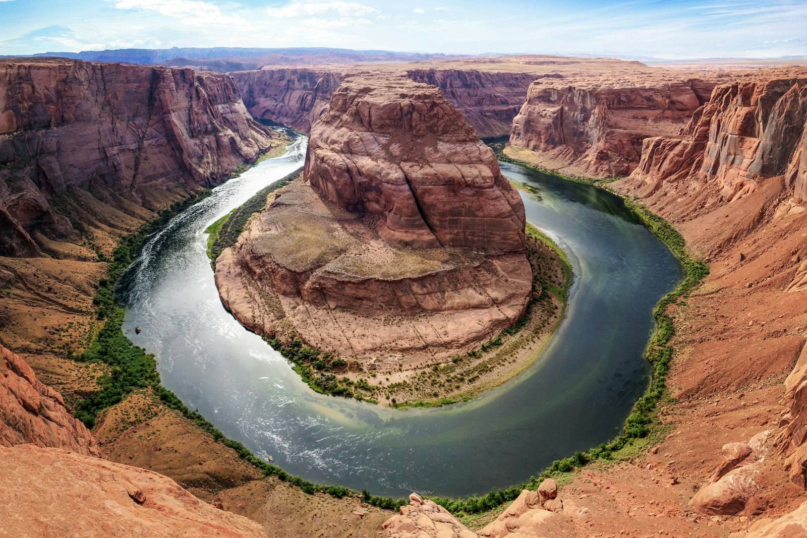
Grand Canyon National Park, Arizona
South Kaibab Trail to Cedar Ridge
A ridgeline descent from the South Rim with big views almost immediately. There is no water on the trail. Ooh Aah Point is a shorter turnaround.
Parking: Do not assume you can park at Yaki Point. Use the shuttle system as signed.
Permits: No day-hike permit. Distances, times, and elevation figures here are planning ranges. The park’s current trail report is the authority.
Overview
South Kaibab is the South Rim corridor trail with the more open views and no shade to speak of. From the trailhead near Yaki Point, the path drops along a ridge. Ooh Aah Point is close. Cedar Ridge is the usual day-hike objective: a broad saddle with toilets and no water. Skeleton Point and the river are much farther and are not treated here as casual turnarounds. Because there is no water, this trail punishes optimistic bottle sizes. Hike early. The shuttle to the trailhead is part of the plan in peak season; private cars are often restricted.
Why Hike This Trail
- You want canyon views without hiking a shaded inner-canyon corridor the whole way.
- You can carry all of your water.
- You will treat Cedar Ridge as a destination, not a waypoint to the river.
Route Description
- Ride the Kaibab Rim (Orange) Route shuttle to the South Kaibab trailhead when private vehicles are limited. Confirm the current shuttle map.
- Descend to Ooh Aah Point. This is a valid short hike.
- Continue to Cedar Ridge if heat and water allow. Rest, then climb. The ascent is the workout.
- Do not count on a shuttle from below the rim. You climb out on your feet.
What to Expect
- Full sun and wind.
- Mule traffic on some days.
- Excellent photography light early and late; brutal midday in summer.
Best Time to Visit
Spring and fall. Summer mornings only, and even then Cedar Ridge can be too far. Winter ice on the upper trail may require traction.
What to Bring
- All the water you need for the climb out, plus extra.
- Salty snacks, sun hat, and a wind layer.
See also the full-day packing guide and hiking checklist.
How to Prepare
- Read NPS turnaround guidance. Down is optional; up is required.
Nearby Attractions
- Bright Angel Trail
- South Rim viewpoints along Hermit Road (shuttle)
Nearby Places to Stay
- South Rim village lodges
- Tusayan
Frequently Asked Questions
Ooh Aah Point or Cedar Ridge?
Ooh Aah Point is the shorter, safer introduction. Cedar Ridge is a real hike with a real climb. Choose based on heat and the slowest person in the group.
Safety Notes
- No water on South Kaibab. Plan accordingly.
- Stay away from undercut rim edges at viewpoints.
Official Resource Links
Grand Canyon National Park (NPS)
Keep planning
Destination: Arizona. Nearby drive: Utah National Parks Road Trip. Itinerary: 10-Day Southwest National Parks.