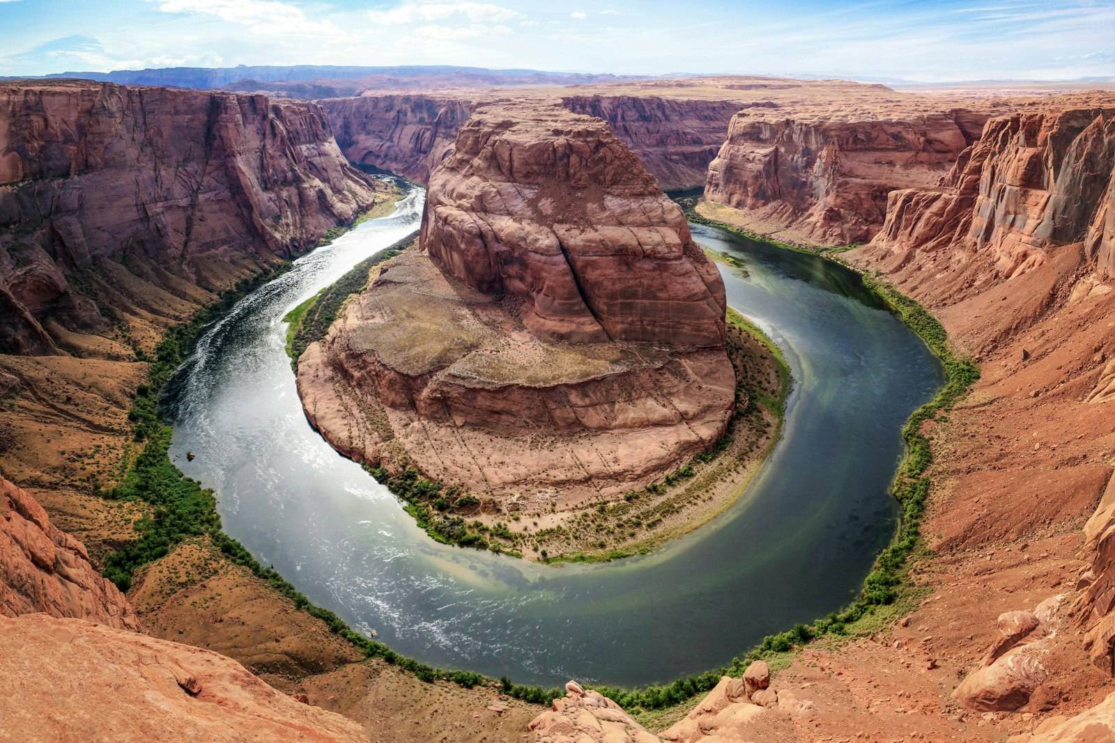
Grand Canyon National Park, Arizona
Bright Angel Trail
The South Rim’s main corridor trail. Day hikers should pick a rest house and treat the river as a multi-day objective, not a casual turnaround.
Parking: Use signed village parking and walk or take the village shuttle. Trailhead parking is limited.
Permits: Day hiking does not require a backcountry permit. Overnight camping below the rim does. Distances, times, and elevation figures here are planning ranges. The park’s current trail report is the authority.
Overview
Bright Angel Trail drops from Grand Canyon Village through shaded rest houses toward Indian Garden and, much lower, the Colorado River. The National Park Service repeatedly warns that hiking to the river and back in one day from the South Rim is not a typical day hike. Heat collects in the inner canyon, the climb out is the hard part, and water availability at rest houses can change with pipeline repairs. This guide is built around turnaround points: 1.5 Mile Rest House, 3 Mile Rest House, and Indian Garden / Plateau Point as longer days for prepared hikers. Going farther requires a different plan, often an overnight permit.
Why Hike This Trail
- You want a maintained trail with clear mileage markers and rest houses.
- You are willing to hike down only as far as you can climb out in the remaining heat of the day.
- You prefer a corridor route with other hikers rather than an unmarked rim walk.
Route Description
- The trailhead is near Kolb Studio and Bright Angel Lodge on the South Rim. Start with filled bottles. The first tunnel is close; the trail then switchbacks on sun-facing rock.
- 1.5 Mile Rest House is a common first turnaround. Check shade, water status, and how you feel on the way down—remember the climb is still ahead.
- 3 Mile Rest House is a bigger day. Many first-time canyon hikers should not continue past this point in summer.
- Indian Garden is a riparian stop much farther down. Plateau Point is an additional out-and-back with wide river views and little shade.
- River and Bright Angel Campground are overnight territory for most visitors. Do not improvise a rim-to-river day because the map looks short.
What to Expect
- The descent feels easy. The ascent in afternoon heat does not.
- Mule traffic on sections of the corridor. Step to the inside of the trail when directed.
- Seasonal water at rest houses. Treat posted ‘water off’ signs as binding.
- Large temperature differences between rim and inner canyon the same afternoon.
Best Time to Visit
April–May and September–October are the usual windows for more moderate inner-canyon temperatures. June through August can be dangerous for midday hiking below the rim. Winter brings ice on upper switchbacks; traction devices may be needed. Check the park’s current trail and water updates.
What to Bring
- More water than a mountain hike of the same mileage. Electrolytes help in heat.
- Salty snacks. Hyponatremia is a known canyon issue when people drink without eating.
- Sun protection and a light insulating layer for the rim.
- Headlamp. Time estimates fail when the climb is slow.
See also the full-day packing guide and hiking checklist.
How to Prepare
- Read the NPS ‘Hike Smart’ guidance for Grand Canyon before you choose a turnaround.
- Hike a steep local trail in heat if you can. Stair fitness transfers poorly to canyon miles if you skip heat training.
- Tell someone your turnaround point. Cell coverage is unreliable below the rim.
Nearby Attractions
- Rim Trail between viewpoints (much easier, still exposed to sun and wind)
- South Kaibab Trail to Ooh Aah Point or Cedar Ridge as an alternate corridor day
- Desert View Drive for later-day viewpoints
Nearby Places to Stay
- South Rim lodges inside the park, reserved well ahead
- Mather and Trailer Village campgrounds on the South Rim
- Tusayan, a few miles south of the park entrance
Frequently Asked Questions
How far should I go on a first visit?
If you have not hiked steep desert trails, 1.5 Mile Rest House is a complete outing. Fit hikers in cool weather sometimes continue to 3 Mile. Indian Garden is a long day. The river is not a default day-hike destination.
Is water always on at the rest houses?
No. The trans-canyon pipeline is repaired on an irregular schedule. Carry enough water to reverse your hike even if a spigot is off.
Safety Notes
- Heat illness is the primary hazard in warmer months. Hike early, rest in shade, and turn around sooner than your ego prefers.
- Stay on the trail. Canyon shortcuts cross rotten rock and cryptobiotic soil.
- Keep distance from the rim and from wildlife, including elk on the South Rim developed area.
- Do not throw anything into the canyon or feed squirrels.
Official Resource Links
Grand Canyon National Park (NPS)Hiking the Grand Canyon (NPS)
Keep planning
Destination: Arizona. Nearby drive: Utah National Parks Road Trip. Itinerary: 10-Day Southwest National Parks.